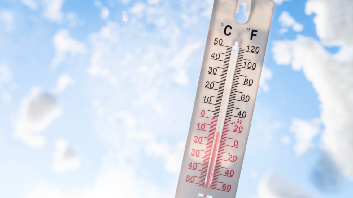
National Weather Service (NWS) offices in Minnesota, Michigan, and Wisconsin announced a frost advisory for Tuesday morning, with a Michigan office also issuing a freeze warning. This development comes as temperatures drop with the onset of fall. Cold air is moving into the region from Canada, leading to this temperature decline.
Understanding Weather Alerts
The NWS uses freeze warnings and frost advisories to alert residents about potential cold conditions that could harm outdoor plants and animals outside. These alerts commonly appear at the start or end of the growing season, signaling farmers and gardeners about possible risks to crops.
This marks the first freeze warning issued by NWS Marquette this season. According to NWS meteorologist Ben Warren, the region normally experiences its first freeze in late September or early October. Current chilly conditions are slightly early compared to usual patterns. Warren noted, “Our normal [overnight] temperatures this time of year are typically in the 40s.” Fall officially begins on Tuesday, September 22.
Freeze Warning and Frost Advisory: Key Differences
A freeze warning is more severe than a frost advisory. It is issued when temperatures are expected to fall below 32 degrees Fahrenheit for a prolonged period. Meanwhile, a frost advisory is given when frost may form, even when temperatures are above freezing. Ground-level temperatures can be lower than air temperatures measured at thermometer height, leading to frost formation at readings above freezing.
Freeze Warning Details
The NWS office in Marquette, Michigan, issued the freeze warning effective 2 a.m. Tuesday for Baraga, Iron, and Southern Houghton counties. Temperatures could drop as low as 30 degrees Fahrenheit, impacting cities like Kenton, Iron River, Sidnaw, and L’Anse.
Precautions include wrapping, draining, or allowing water pipes to drip slowly to prevent freezing. Additionally, in-ground sprinkler systems should be drained, and above-ground pipes covered for protection.
Frost Advisory Updates
Frost advisories cover a wider range. The NWS offices in Duluth, Minnesota; Gaylord and Marquette, Michigan; Grand Forks, North Dakota (covering its Minnesota forecast area); and Green Bay, Wisconsin have issued these advisories. Temperature predictions range between 33 and 34 degrees, depending on the specific area. “Frost could harm sensitive outdoor vegetation. Sensitive outdoor plants may be killed if left uncovered,” stated NWS Grand Forks.
El Niño’s Impact on Winter Temperatures
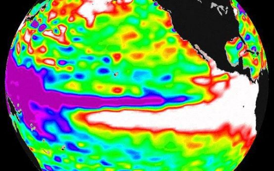
The strengthening El Niño in the Pacific Ocean could affect U.S. winter temperatures. El Niño, the warmer phase of the El Niño-Southern Oscillation (ENSO) cycle, has reached record levels this year and is projected to persist strengthening into November or December, according to a NOAA spokesperson. In the U.S., El Niño’s effects are most felt during fall and winter, bringing cooler, wetter conditions to the South and warmer, drier conditions in the North. It can impact the storm track and influence whether precipitation falls as snow or rain, along with causing extreme cold spells.
What to Expect Next
The frost advisories and freeze warning are set to expire Tuesday as temperatures rise with daylight. Nevertheless, similar alerts may soon be released nationwide as fall progresses. Despite the fall season, NOAA’s Climate Prediction Center forecasts a strong likelihood of above-average temperatures across much of the U.S. through October 5 based on their latest temperature outlook.
 Atlantic Ends September Without a Hurricane for First Time Since 1994
  Bobcat Sightings and Conservation Efforts in Illinois
  2026 El Niño: A Historical Comparison and Future Projections
  U.S. Records Warmest September in History
  Increased Funding Needed for Psychiatric Hospitals
  Higher Consumption of Ultra-Processed Foods Linked to Increased Health Risks