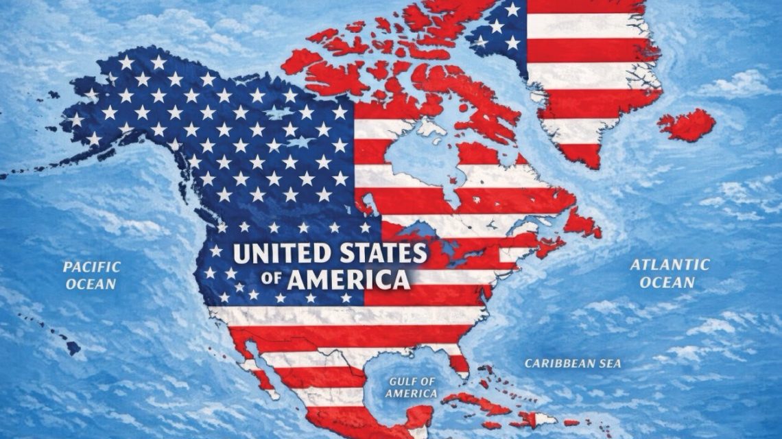
President Donald Trump posted an AI-generated image on Truth Social, showing a drastically expanded United States covering much of North America. The map displayed the U.S. flag over Canada, Mexico, Greenland, Cuba, and other regional territories without any accompanying caption or explanation.
The map effectively encompasses North America, which normally consists of 23 sovereign nations, alongside Greenland, an autonomous part of Denmark, and several Caribbean countries. The White House has not commented on whether this map aligns with any official policy proposal. However, Trump’s statements have shown a trend toward redefining the region’s political boundaries. He has mentioned Canada might become the 51st U.S. state and has pursued acquiring Greenland. His administration has also increased diplomatic tensions with Mexico and Cuba.
Newsweek contacted the White House for further comments. In response to Trump’s previous territorial claims, Canadian Prime Minister Mark Carney has firmly rejected the idea of Canada joining the U.S. He reportedly told Trump during an Oval Office meeting, “As you know from real estate, there are some places that are not for sale,” to which Trump reportedly replied, “Never say never.”
Mexico’s President Claudia Sheinbaum expressed resistance to U.S. pressure by defending Mexico’s sovereignty. On Monday, she posted on X, asserting, “In the month of the homeland, we reaffirm that Mexico is neither nor will be a colony or protectorate of any foreign country. Proudly we are a free, independent, and sovereign nation.”
Cuba’s Foreign Minister Bruno Rodríguez accused the Trump administration of imposing what he calls an “energy blockade” and intensified sanctions, affecting the Cuban population with power outages and restricted fuel supplies.
Trump also shared other AI-generated images, including one suggesting New Mexico be renamed “New America,” and another stating, “The Moon Is Ours.” Earlier this year, he signed an executive order for U.S. agencies to refer to the Gulf of Mexico as the “Gulf of America,” although this is not an internationally recognized change.
Craig Agranoff, a political professor at Florida Atlantic University, described the map as more of a “messaging” tool than a policy proposal, suggesting it serves as political theater. He warned that neighbors and allies might need to respond, as ignoring such maps could be interpreted as acceptance. Agranoff emphasized the symbolic impact of the map on diplomacy, trade talks, and security cooperation.
Listed countries and territories on Trump’s map include:
- Canada
- United States
- Greenland — Autonomous territory of Denmark
- Iceland
- Mexico
- Belize
- Guatemala
- Honduras
- El Salvador
- Nicaragua
- Cuba
- Jamaica
- Haiti
- Dominican Republic
- Bahamas
- Puerto Rico — U.S. territory
- Cayman Islands — British Overseas Territory
- Antigua and Barbuda
- Saint Kitts and Nevis
- Dominica
- Saint Lucia
- Barbados
- Saint Vincent and the Grenadines
- Turks and Caicos Islands — British Overseas Territory
- British Virgin Islands — British Overseas Territory
- U.S. Virgin Islands — U.S. territory
- Saint-Martin — French overseas collectivity
- Sint Maarten — Constituent country of the Netherlands
- Anguilla — British Overseas Territory
- Saint Barthélemy — French overseas collectivity
- Montserrat — British Overseas Territory
- Guadeloupe — French overseas department
- Martinique — French territorial collectivity
- Grenada
Other Caribbean regions like Trinidad and Tobago, Aruba, and Curacao don’t appear on the map.
 California Voters to Decide on $7.5 Billion State Research Fund
 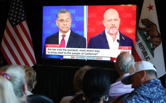 Highlights from the California Gubernatorial Debate: Becerra vs. Hilton
 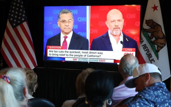 Becerra vs. Hilton: The Debate and Key Issues in the California Governor Race
  Senate Confirms New Labor Secretary
 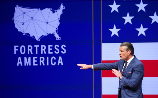 Hegseth’s Ambitious Military Initiatives to Reshape Warfare
  Pete Davidson Criticizes NYC Mayor Zohran Mamdani Over BQE Construction