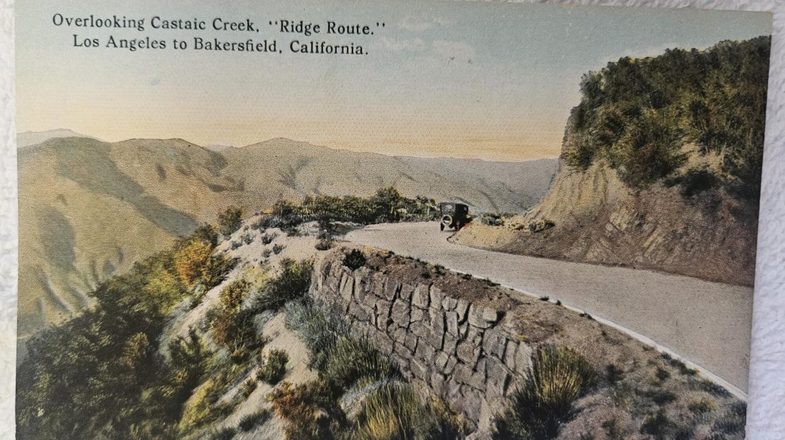
Before the completion of Interstate 5 in 1970, traversing California’s Tejon Pass was not about a number, but an adventure. Connecting Southern and Central California, the pass cuts through the Tehachapi Mountains, serving as a crucial link and sparking discussions about dividing the state into distinct regions.
Before Interstate 5, trucks, tourists, and locals navigated the terrain’s challenges using the Ridge Route, completed in 1915. This route, with its serpentine path comprising 697 curves over 36 miles, could test the courage of any driver, with speed limits capped at 15 mph. Views offered spectacular scenery for those daring enough to glance away from the road.
Today, part of this original path remains accessible, primarily to local traffic and historical enthusiasts, with approximately 18 miles listed on the National Register of Historic Places. Volunteers spend their summers maintaining it, clearing debris and filling potholes.
The Tejon Pass is steeped in history. Native Americans inhabited the area for centuries before Spanish soldiers explored it in the 1770s. The name ‘Castaic’ originates from the Chumash word for ‘eye.’ Spanish explorers referred to a part of the region as ‘Canada de las Uvas,’ due to thriving wild grapes, while ‘Tejon Pass’ came from finding a deceased badger in the area.
The Ridge Route Legend
Human efforts to conquer the pass continued with the U.S. Army establishing Fort Tejon in 1854. Though primarily aimed at controlling Native American populations, the fort witnessed California’s strongest recorded earthquake at a magnitude 7.9 in 1857.
Pioneers like Phineas Banning and Andres Pico sought to create more accessible routes. By 1858, the Butterfield stagecoaches transported mail via a steep passage comparable to San Francisco’s Lombard Street. Edward Beale, overseeing Chinese laborers, deepened this pathway, famously known as ‘Beale’s Cut.’
Beale also charged tolls for passage, adding a commercial edge to the route. Automotive history marked its first crossing in 1902. The vehicle stalled on an incline, prompting its driver, Ralph Hamlin, to reverse for fuel flow.
Over the years, rockslides and erosion have altered ‘Beale’s Cut,’ although its cinematic appearance in John Ford’s ‘Stagecoach’ remains a cultural touchstone. Despite such adaptations, the narrow passage proved perilous for early automobilists.
The Evolution of Travel
By December 1910, the Newhall tunnel added a new dimension, albeit temporary. The original Ridge Route opened in 1916, drastically reducing travel time between Los Angeles and Bakersfield. Settlements emerged to support builders, creating a network of hotels and garages.
Tragic tales highlight its dangers. In 1931, an Alabama woman endured 50 hours in a ravine after her car was sideswiped. Highway robberies also plagued the Ridge Route. Such status made ‘Dead Man’s Curve’ and ‘the Junkyard’ infamous.
Progress brought change, with 1933’s Ridge Route 2.0 and the eventual rise of Interstate 5 in 1970. Parts of these older routes, including bridges, now lie under Pyramid Lake.
The Ridge Route also figured in literature. In Steinbeck’s ‘The Grapes of Wrath,’ the fictional Joad family traverses the road over the Tehachapi Mountains, seeking new beginnings in California.
 Amir Odom Discusses Departing from the LGBTQ Movement
  Preserving Ken Kesey’s Iconic Bus ‘Furthur’ for Future Generations
  Historical Events in Chicago on October 3
  Martina Navratilova’s Enduring Influence in Tennis and Beyond
 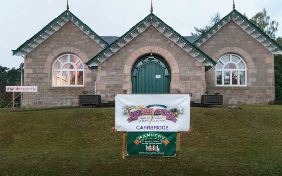 World Porridge Making Championship: A Unique Scottish Tradition
  Readers React to Miss Manners Column