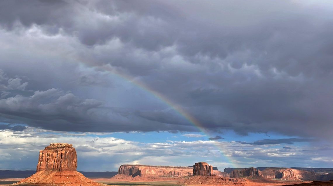
The Old Farmer’s Almanac has shared its extended weather forecast for August, signaling possible thunderstorms throughout much of the United States. It also highlights potential tropical storm or hurricane threats for several coastal and southern areas.
The long-range forecast offers regional patterns rather than specific daily weather conditions. The Almanac segments the U.S. into zones, projecting temperature and rainfall trends relative to historical averages.
Accuracy of the Old Farmer’s Almanac
The Almanac claims an 80 percent accuracy rate for its forecasts, while acknowledging that no one can predict weather with absolute certainty. These forecasts are generated by analyzing solar patterns and past weather data alongside current solar activities, incorporating solar science, climatology, and meteorology.
Regional Breakdown for August
Northeast
The month commences with scattered thunderstorms and warm weather, transitioning to heavier rain in the north and isolated showers in the south from August 7 to 10. Sunshine prevails later, though midmonth sees more thunderstorms. From August 19 through the end of the month, mild temperatures and isolated thunderstorms are expected. The Almanac projects an average temperature of 67.5 degrees with roughly four inches of rainfall.
Atlantic Corridor
August opens with scattered thunderstorms, transitioning to sunny, warm conditions until August 14. Tropical storm threats emerge in the south on August 15 and 16, while the north remains sunny. The latter half trends sunny and warm; isolated thunderstorms may occur in the south. Precipitation is forecast at 2 inches, around 2 inches below average.
Appalachians
Warm conditions and isolated thunderstorms persist from August 1 to 12, succeeded by sunnier weather from August 13 to 20. Temperatures transition from cool to warm. The month concludes with scattered thunderstorms and mild weather. August temperatures are anticipated at 71 degrees—1 degree below average—with precipitation at approximately 2.5 inches.
Southeast
August begins with scattered thunderstorms; temperatures transition from warm to cool through August 11. From August 12 to 14, isolated thunderstorms impact the west, and the east faces hurricane threats. Showers and cool conditions last until August 23. Thunderstorms return to the west before sunny weather emerges in the east. August ends with mild conditions and scattered thunderstorms.
Florida
Florida experiences isolated thunderstorms and warm weather early in August, with hurricane threats from August 10 to 12. Continued thunderstorms and mild weather persist through August 24. The final week anticipates sunshine in the north and thunderstorms in the south. August precipitation is expected at 8 inches; the north seeks 2 inches below average, the south 2 inches above.
Lower Great Lakes
The region commences with scattered thunderstorms, transitioning to sunshine as temperatures cool through August 16. Thunderstorms resume from August 17 to 25, as temperatures rise. Heavy rain is forecast for the east from August 26 to 28, while the west stays sunny. Scattered thunderstorms and mild weather are projected for month’s end.
Ohio Valley
August starts sunny, then thunderstorms emerge alongside warm conditions until August 9. It shifts to sunny and mild weather from August 10 to 19, followed by thunderstorms from August 20 to 28. The month concludes with sunny, mild weather. The Almanac forecasts a temperature of 72.5 degrees—1.5 degrees below average—with precipitation 1 inch below average.
Deep South
The Deep South sees scattered thunderstorms initially, transitioning from warm to cooler conditions through August 13. From August 14 to 21, the north is sunny, while the south faces thunderstorms. Scattered thunderstorms are likely in the east and tropical storm threats in the west from August 22 to 24. Sunshine dominates as thunderstorms fade toward month’s end.
Upper Midwest
Isolated thunderstorms and warm weather inaugurate August, with a sunny period following from August 8 to 12. The east remains sunny while the west experiences isolated thunderstorms and very warm conditions from August 13 to 18. Thunderstorms return from August 19 to 24. Month’s end brings sunshine, transitioning to showers and cooler weather.
Heartland
Scattered thunderstorms initiate August in the north, with sun in the south; heat intensifies through August 7. Sunny conditions persist from August 8 to 15, with upcoming thunderstorms amidst warmth from August 16 to 20. Later in the month, isolated thunderstorms are anticipated. The Almanac predicts an August temperature of 73 degrees—2 degrees below average—with precipitation at 4.5 inches.
Texas-Oklahoma
August opens sunny then some thunderstorms develop, with warm northern conditions and hotter southern weather. Heavy thunderstorms from August 10 to 12 precede sunshine and isolated thunderstorms through August 22. Tropical storm threats are noted for August 23 to 25, followed by few thunderstorms and warm conditions at month’s end.
High Plains
Sunshine and heat commence August in the northern High Plains; the south faces thunderstorms and cooler conditions. Few thunderstorms and cool weather persist from August 6 to 10. Sunshine returns before isolated thunderstorms develop from August 11 to 19. From August 20 to 23, scattered thunderstorms and hot weather are predicted. Month’s end anticipates sunshine, followed by thunderstorms and warm conditions.
Intermountain Region
The Intermountain Region begins August with sunshine and hot northern conditions, while the south has few thunderstorms and warm weather. Sunny conditions last from August 12 to 15. From August 16 to 22, the north remains sunny and warm as the south sees isolated thunderstorms and hot weather. Isolated thunderstorms persist from August 23 to month’s end.
Desert Southwest
Initial August brings scattered thunderstorms and warm conditions. Thunderstorms from August 6 to 11 affect the east as the west stays sunny. A prolonged sunny period prevails from August 12 to 23, with warm eastern conditions and hotter western weather. Isolated thunderstorms return from August 24 to 31.
Pacific Northwest
Sunny, hot weather launches August, preceding isolated thunderstorms, followed by sunshine and warmth from August 6 to 21. Scattered showers and cooler weather occur from August 22 to 25. Sunshine dominates as heat returns to conclude August. The Almanac anticipates an August temperature of 69 degrees, 2 degrees above average, with half-inch precipitation below average.
Pacific Southwest
The region remains predominantly sunny throughout August, starting with hot inland temperatures and warmer coastal weather. From August 10 to 17, isolated sprinkles appear in the north as the south stays sunny. Sunny, hot trends follow from August 18 to 21, concluding with hot inland weather and cooler coastal conditions. Precipitation is forecast at zero inches, considered average.
Alaska
Showers open August in the north and central areas, rainy periods in the south, with cool conditions prevailing through August 15. Rainy periods are forecast for the Panhandle from August 16 to 21, isolated showers affect the east and west. Rain and snow showers in the north, sunny and warm central weather, and southern rain periods prevail from August 22 to 31.
Hawaii
August outlook begins with scattered showers in the east and west, sunshine in central areas, and hot conditions through August 16. From August 17 to 31, showers continue, with more isolated activity in central and western areas as temperatures stay warm. The Almanac forecasts precipitation of 0.2 inches—0.4 inches below average—and an 80.5-degree temperature, 1 degree below average.
For further details, contact Newsweek editors Matthew Robinson and Dave Siminoff.
 Atlantic Ends September Without a Hurricane for First Time Since 1994
  Bobcat Sightings and Conservation Efforts in Illinois
  2026 El Niño: A Historical Comparison and Future Projections
  U.S. Records Warmest September in History
  Swiss Glaciers Show Effects of Ice Loss Amid Global Warming
  Climate-Resistant Rock Glaciers: Hidden Water Resources