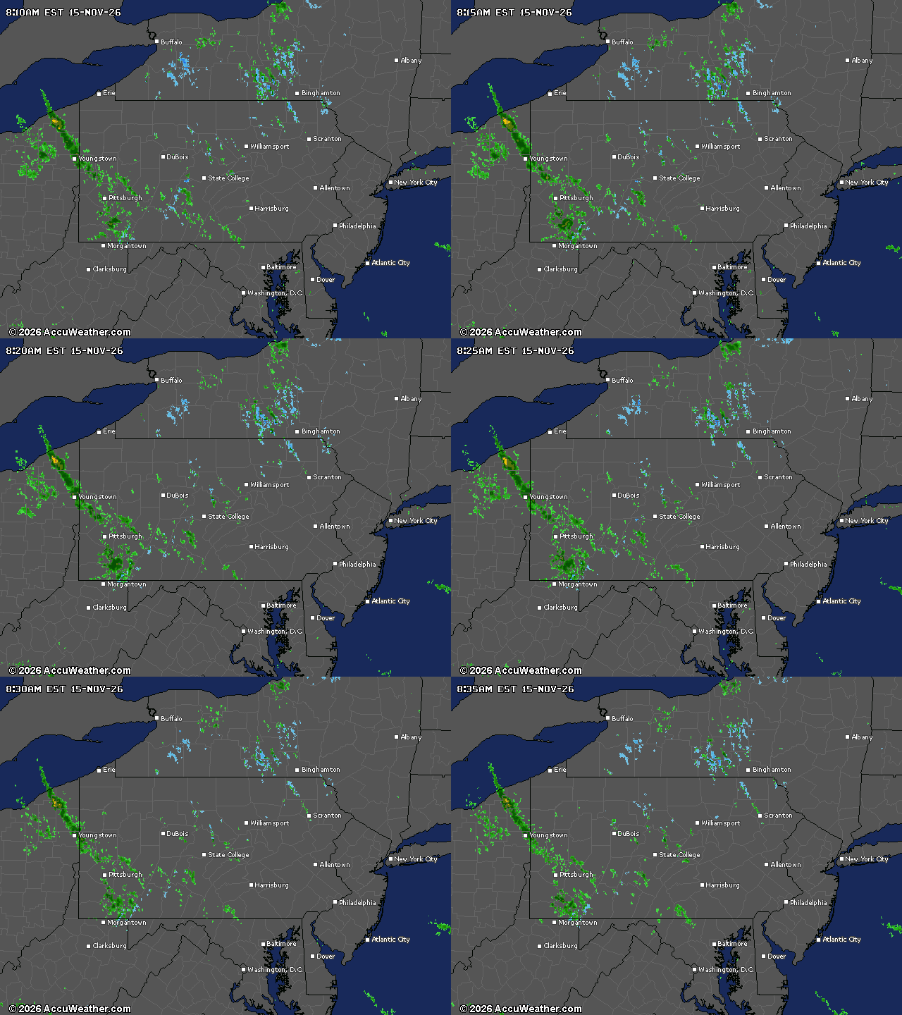
New Jersey is set to experience a breezy, slightly cooler-than-usual Sunday. The National Weather Service forecasts dry conditions and a gradual warming trend for the upcoming week.
On Sunday, northwest New Jersey might see a few sprinkles or flurries. This will be the last precipitation in the forecast until at least next Saturday. Expect clear skies with temperatures slightly below November’s average. Northwest winds could gust up to 25 mph in the afternoon but will calm by evening. Highs will be in the low to mid-50s.
Monday’s weather will feature reduced winds and persistently below-normal temperatures. However, the sky will become sunnier as high pressure advances into the area.
By Wednesday, a warming trend will start, with high temperatures reaching the lower to mid-60s, uncommon for this season. This warming will last through Thursday, Friday, and Saturday, keeping temperatures in the lower to mid-60s amidst dry conditions.
Current weather radar
As high pressure settles south of New Jersey later in the week, the quiet and mild weather will persist. This extended period of dry weather is ideal for outdoor activities or travel plans during the week.