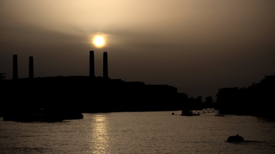
Dust Cloud Journeys from Sahara to Florida
A massive dust cloud from Africa’s Sahara Desert is making its way across the Atlantic, with Florida and parts of the Gulf Coast set to experience hazy skies. The Saharan Air Layer, responsible for this plume, highlights its signature effects during the peak of Atlantic hurricane season. The National Oceanic and Atmospheric Administration (NOAA) explains how its hot, dry air can hinder tropical cyclone formation, making the region’s weather patterns complex.
Tracking the Dust Plume
Satellite tracking shows the dust moving west from North Africa towards the Caribbean and southeastern U.S. Florida and the Gulf Coast anticipate notable impacts, although the concentration of dust is expected to decline by the time it reaches the continental United States. Meteorologists note that Caribbean islands typically endure the highest dust levels that diminish as the plume moves further west.
Understanding the Saharan Air Layer
The Saharan Air Layer consists of dry, dusty air forming over the Sahara during late spring and summer. Tropical waves lift dust particles high, allowing easterly winds to carry them thousands of miles across the Atlantic. NOAA indicates that the dust layer can be 2 to 2.5 miles thick, frequently traveling from Africa to the Caribbean, Gulf, and U.S. between June and September.
What Residents Should Expect
NASA’s dust modeling shows multiple plumes crossing the Atlantic, bringing hazy or milky skies to affected areas. Dust may worsen air quality, particularly for those with asthma, allergies, or respiratory conditions. Health professionals recommend limiting outdoor exposure during elevated dust levels.
Residents can expect colorful sunrises and sunsets, as light scatters through the dust particles. NOAA also mentions that heavy dust layers can reduce thunderstorm occurrence. Although widespread hazardous conditions are unlikely, those with respiratory issues may experience symptoms like coughing and allergies.
Impact on Hurricane Season
Forecasters monitor Saharan dust outbreaks due to their potential to temporarily lower tropical development. NOAA states that the warmth, dryness, and winds linked with the Saharan Air Layer inhibit the creation and intensification of tropical storms.
While this short-term effect doesn’t remove hurricane risk entirely, it can reduce its likelihood while dust remains in the Atlantic.
 Atlantic Ends September Without a Hurricane for First Time Since 1994
  Bobcat Sightings and Conservation Efforts in Illinois
  2026 El Niño: A Historical Comparison and Future Projections
  U.S. Records Warmest September in History
  Swiss Glaciers Show Effects of Ice Loss Amid Global Warming
  Climate-Resistant Rock Glaciers: Hidden Water Resources