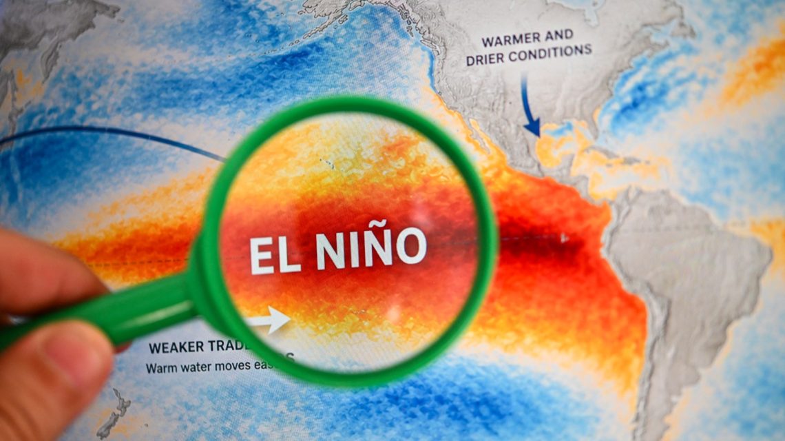
El Niño Intensifies: The El Niño phenomenon is strengthening across the tropical Pacific, with forecasters warning that it could reach exceptional intensity. The National Oceanic and Atmospheric Administration (NOAA) has given a greater than 90 percent chance of a very strong event during fall and winter, while the World Meteorological Organization (WMO) predicts that El Niño will reach very strong intensity before peaking near the end of 2026. AccuWeather forecasts the possibility of it becoming the strongest El Niño since at least 1950.
Understanding El Niño
El Niño denotes the warm phase of the El Niño-Southern Oscillation (ENSO), a recurring Pacific climate pattern impacting global weather. Its counterpart, La Niña, represents the cool phase of the cycle. Common effects of El Niño include stormier conditions across the Southern U.S., drier weather in some northern regions, and shifts in hurricane activity.
“Super El Niño” is not a formal NOAA classification. It is commonly used to describe an exceptionally strong event.
Tracking Development
Alex DaSilva, AccuWeather meteorologist, advises the public to track El Niño’s progression. El Niño is measured in the ENSO 3.4 region, a designated zone in the Eastern Pacific used to compare sea-surface temperatures to climatological norms. DaSilva notes, “If we see a record El Niño, there is a very high likelihood that global temperatures in 2027 will be the warmest on record.”
NOAA Predictions
NOAA’s Climate Prediction Center, on August 13, projected El Niño’s intensification through the end of 2026. It anticipated a greater than 90 percent chance of a very strong event during the Northern Hemisphere’s fall and winter of 2026-27. For October-to-December, NOAA estimated a 69 percent chance for a historically strong event surpassing all previous El Niños since 1950.
Despite these predictions, NOAA cautioned that an event’s magnitude would heighten the chances of El Niño-like effects, though these effects remain uncertain.
WMO’s Assessment
The WMO indicated that El Niño is firmly established and expected to intensify, heading towards a very strong event soon. Forecasts from its Global Producing Centres show nearly 100 percent likelihood of El Niño persisting through February 2027. The organization links exceptionally warm conditions across the tropical Pacific to further intensification, projecting El Niño’s peak by 2026’s end, with continued climate impacts into 2027.
Potential changes in rainfall and temperature patterns, alongside risks of floods, droughts, and extreme heat, accompany El Niño’s expected effects. Nevertheless, WMO highlights that intensity alone doesn’t define severity in specific areas; impacts vary seasonally and regionally, influenced by other climate drivers.
AccuWeather’s Insights
AccuWeather notes high confidence among its hurricane experts regarding “Super El Niño” conditions developing during the latter half of the Atlantic hurricane season. The upcoming event in 2026-27 might be the strongest since 1950. Paul Pastelok, AccuWeather Lead Long-Range Meteorologist, stated, “We are seeing a strong impact in both the Atlantic and Pacific basins, with extreme wind shear limiting Atlantic storm development, while the Pacific remains quite active.”
AccuWeather’s U.S. forecast predicts an active southern storm track and above-average temperatures in the northern tier during fall. It warns of “extreme and exceptional” drought persisting in the West.
According to DaSilva, the current El Niño is the strongest on record as per daily values. He noted that, “while the daily value is in record territory, for this to be declared the strongest El Niño on record, you would need the El Niño to strengthen and sustain itself for several months in a row.”
For additional information or inquiries regarding this story, contact Newsweek editors John Fitzpatrick and James Debens.
 Swiss Glaciers Show Effects of Ice Loss Amid Global Warming
  Climate-Resistant Rock Glaciers: Hidden Water Resources
  Senators Reach Bipartisan Agreement on Permitting Reform
  Experts Warn of Critical Period for the Colorado River
  Future Cities: Ambitious Projects Aiming for Innovation and Sustainability
  Supreme Court Case Suncor vs. Boulder: Implications for Accountability in Climate Change