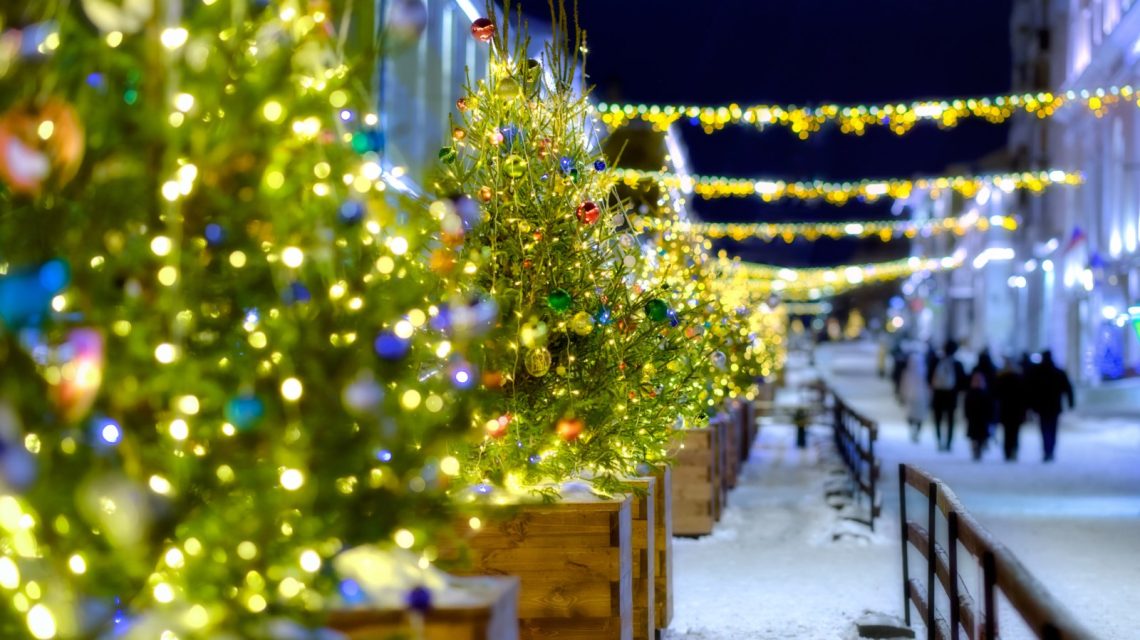
The National Weather Service (NWS) outlines a white Christmas as having at least one inch of snow on the ground on Christmas morning. Each December 25, odds of snow-covered ground vary across the United States. Historical data from the National Centers for Environmental Information (NCEI) show northern states, mountainous areas, and Alaska have the highest chances due to existing snowpack.
A white Christmas is uncommon for much of the country. According to NWS data, the likelihood of snow diminishes significantly in the South, Gulf Coast, and Southeast, where warm temperatures often prevent snow accumulation during late December. This year, meteorologists are watching for a strong El Niño, a climate condition marked by warmer Pacific Ocean temperatures. El Niño can modify jet stream paths, impacting winter weather in North America.
“In a conventional El Niño pattern, higher altitudes in the western states are more likely to experience a white Christmas,” said AccuWeather meteorologist Peyton Simmers to Newsweek. “During these periods, December tends to be warmer than historical norms, reducing the chance of a white Christmas in eastern parts of the United States.”
Understanding Super El Niño
A super El Niño represents an extremely strong form of the climate pattern, occurring when sea surface temperatures in the central and eastern tropical Pacific exceed normal levels, affecting global weather. Robust El Niño events can change the jet stream, altering winter temperature, precipitation, and snowfall in the U.S. The NWS Climate Prediction Center’s latest update puts the probability of an intense El Niño in fall and winter 2026-27 above 90%, with a 69% chance it will surpass historical records from 1950 onward.
The term “super El Niño” is not officially used by the NWS, which opts for “very strong.” In the U.S., El Niño’s impact tends to be most evident from late fall to winter, peaking from December to February.
El Niño’s Influence on Snowfall
Although there is potential for a potent El Niño this year, the National Weather Service has not released a formal winter outlook for the U.S. Historically, strong El Niño events increase storm activity in the southern U.S., while bringing milder weather to northern areas. Consequently, states typically expecting a white Christmas might experience reduced chances if warmer air dominates in December.
Some states maintain high odds for a snowy holiday regardless, due to their cold climate and existing snow cover. Alaska, along with high-altitude regions in western states like California, Colorado, and Utah, remains reliable. Northern states such as Minnesota and North Dakota, and eastern states like Maine and New Hampshire, might see white Christmas probabilities drop due to El Niño’s warmth.
The Great Lakes area often strikes a balance. States like Wisconsin and Michigan benefit from lake-effect snow, yet warmer conditions linked to El Niño make forecasting difficult.
Southern states hold lower prospects, even sans El Niño. Though unusual winter storms can sometimes bring snow to Texas, Louisiana, and other southern areas, these events are irregular and hard to predict months ahead.
What Lies Ahead
Long-term climate trends still hold weight. Areas accustomed to accumulating significant snow by December remain favored for picturesque Christmas scenes, despite El Niño’s possible effects on temperature and storms.
As winter nears, meteorologists will update predictions based on evolving atmospheric patterns. For now, those wishing for a snowy holiday should focus on regions historically known for such conditions.
 Atlantic Ends September Without a Hurricane for First Time Since 1994
  Bobcat Sightings and Conservation Efforts in Illinois
  2026 El Niño: A Historical Comparison and Future Projections
  U.S. Records Warmest September in History
  Swiss Glaciers Show Effects of Ice Loss Amid Global Warming
  Climate-Resistant Rock Glaciers: Hidden Water Resources