
MIAMI (AP) — Tropical Storm Fausto formed far off the southwest Pacific coast of Mexico on Sunday. Meanwhile, a tropical depression in the warm waters of the Gulf of Mexico, located south of the Florida Panhandle, may soon become a named storm.
Fausto developed from a tropical depression approximately 750 miles (1,200 kilometers) south-southwest of the southern Baja California peninsula in Mexico. The U.S. National Hurricane Center reported that Fausto could strengthen steadily or rapidly, possibly reaching hurricane status by Monday night. The storm features maximum sustained winds of 40 mph (65 kph) and moves west-northwest at 13 mph (20 kph). There are currently no coastal watches or warnings in effect for Fausto.
Elsewhere in the eastern Pacific, Tropical Storm Elida was on a weakening trend on Sunday. It is anticipated to degrade into a remnant low within a couple of days. Elida was located about 1,015 miles (1,635 kilometers) west of the southern Baja peninsula, with maximum sustained winds of 60 mph (95 kph).
In the Atlantic, forecasters from the Miami-based hurricane center are monitoring a tropical depression powered by warm waters south-southeast of the Florida Panhandle. It is expected this depression will strengthen into a tropical storm early in the week. As a precaution, a tropical storm watch has been issued for parts of the Florida Panhandle and extending to the Alabama border.
The slow-moving storm may travel near or along the northern Gulf Coast in the coming days. The system could potentially bring heavy rainfall to the coastal regions of northern Florida, Alabama, and Louisiana as it moves westward toward Texas. On Sunday afternoon, the depression was nearly stationary, situated about 190 miles (310 kilometers) south-southeast of Panama City, Florida, with maximum sustained winds of 30 mph (45 kph).
 Atlantic Ends September Without a Hurricane for First Time Since 1994
  Bobcat Sightings and Conservation Efforts in Illinois
 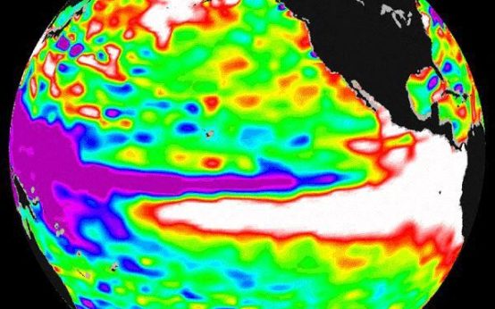 2026 El Niño: A Historical Comparison and Future Projections
  U.S. Records Warmest September in History
 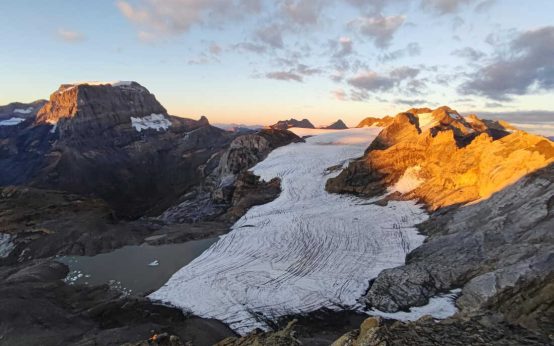 Swiss Glaciers Show Effects of Ice Loss Amid Global Warming
  Climate-Resistant Rock Glaciers: Hidden Water Resources