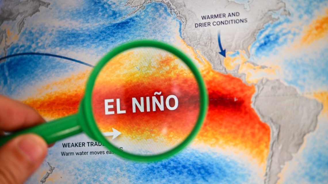
El Niño is intensifying across the Pacific, and forecasts suggest it could reach ‘super’ status this year. Such an event might lead to a record-breaking climate phenomenon with effects lasting into 2027.
Understanding El Niño
The National Oceanic and Atmospheric Administration (NOAA) defines El Niño as the warm phase of the El Niño-Southern Oscillation (ENSO). This is a recurring climate pattern in the Pacific that shifts ocean temperatures and alters tropical wind and rainfall, impacting global weather patterns.
During winter, El Niño typically brings wetter conditions to the Southern U.S., while the North experiences warmer and drier conditions. The term ‘super’ El Niño refers to an exceptionally strong event, identified by ocean temperature anomalies exceeding 2 degrees Celsius above average. These events are rare, with only a few recorded since 1950, such as in 1982-83, 1997-98, and 2015-16.
High Probability of Intensification
AccuWeather’s forecast on July 29, updated on August 3, reported a more than 90% chance that El Niño will become a ‘super El Niño’ by the end of the Atlantic hurricane season. A strengthening El Niño might decrease tropical activity later in the season, although a quieter season does not guarantee a lack of significant storms.
A stronger El Niño can lead to increased wind shear over the Atlantic, complicating the formation and maintenance of tropical storms and hurricanes. Alex DaSilva, AccuWeather’s lead hurricane expert, noted that a stronger El Niño means a more likely less active end to the hurricane season. The season officially began on June 1 and continues through November.
Progress on Becoming ‘Super’
Fox Weather reported that El Niño is strengthening and could rank among the strongest events on record by fall or winter. Water temperatures in a critical Pacific region are currently 1.5 degrees Celsius above average, indicating a ‘strong’ El Niño. To attain ‘super’ status, temperatures would need to be 2 degrees Celsius above average for at least three months. Fox Weather does not foresee a ‘Super El Niño’ declaration soon and highlights the uncertainty of reaching this threshold.
Historically, post-1970, Super El Niño events usually transition into either neutral or La Niña conditions. The 1997 event offers a potential comparison, but current forecast models suggest this El Niño could strengthen further. As of Monday, a Polymarket prediction market showed an 88% probability of a Super El Niño occurring in winter 2026-27.
Expected Strengthening According to CPC
The Climate Prediction Center (CPC) indicated in its July 9 update that El Niño is projected to strengthen further through the end of 2026. There is a 97% chance of El Niño persisting into early spring 2027, and an 81% probability of a ‘very strong’ El Niño during October to December, placing it among the largest events in records dating to 1950.
The CPC noted that even powerful El Niño events do not uniformly impact all regions. However, stronger occurrences can increase the likelihood of expected weather patterns in their respective areas.
 U.S. Records Warmest September in History
  Swiss Glaciers Show Effects of Ice Loss Amid Global Warming
  Climate-Resistant Rock Glaciers: Hidden Water Resources
  Senators Reach Bipartisan Agreement on Permitting Reform
  Experts Warn of Critical Period for the Colorado River
  Future Cities: Ambitious Projects Aiming for Innovation and Sustainability